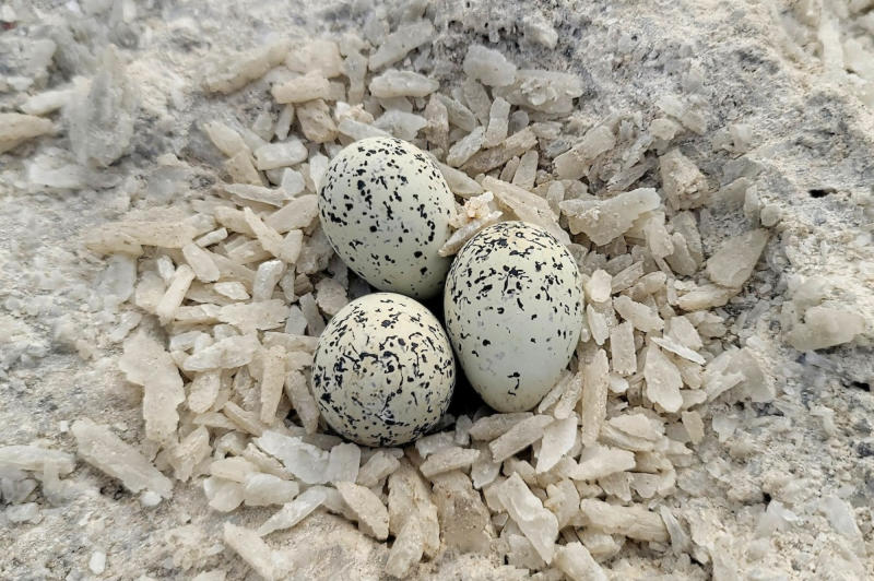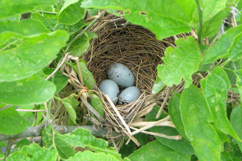
California is home to more species of breeding birds than any other U.S. state, underscoring the state’s ecological richness and broad range of habitats. The California Bird Atlas is an ambitious five- year project to survey and document breeding birds throughout the state of California. The project launched on January 1, 2026, and the fieldwork phase will run from 2026 through 2030. Through the use of eBird, volunteer birders will map the location and abundance of birds breeding and wintering in California. Visit the California Bird Atlas website to learn more about this project. If you already use eBird, it is easy to join and participate.
California is divided into approximately 16,500 atlas blocks (about 3 × 3 miles each). Atlas blocks are based on 7.5’ USGS topographic quadrangle maps that are broken up into 6 smaller blocks (two columns by three rows). Each block serves as a survey unit, and is named with the name of the topo quad followed by the position of the block within the quad. See this example of breeding bird data recorded in the block named Goleta NE. In Santa Barbara County, there are 317 blocks. Zoom in on this map to see all blocks in California:

More on Atlas Blocks
Blockboard is a one-stop dashboard for tracking progress in any block, including overall survey effort and which species still lack breeding evidence. The dashboard will update daily as new Atlas data comes in. A quick scan of Blockboard before heading out is an easy way to know which species are worth extra attention. The map and block table can be scanned or sorted to find nearby blocks lacking survey effort. Blockboard draws on eBird’s Status & Trends layers to generate the estimated occurrence probability of every species in each block.